How to Seamlessly Send Messages on Slack from ArcGIS Field Maps
Introduction to ArcGIS Field Maps and Slack Integration
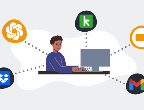
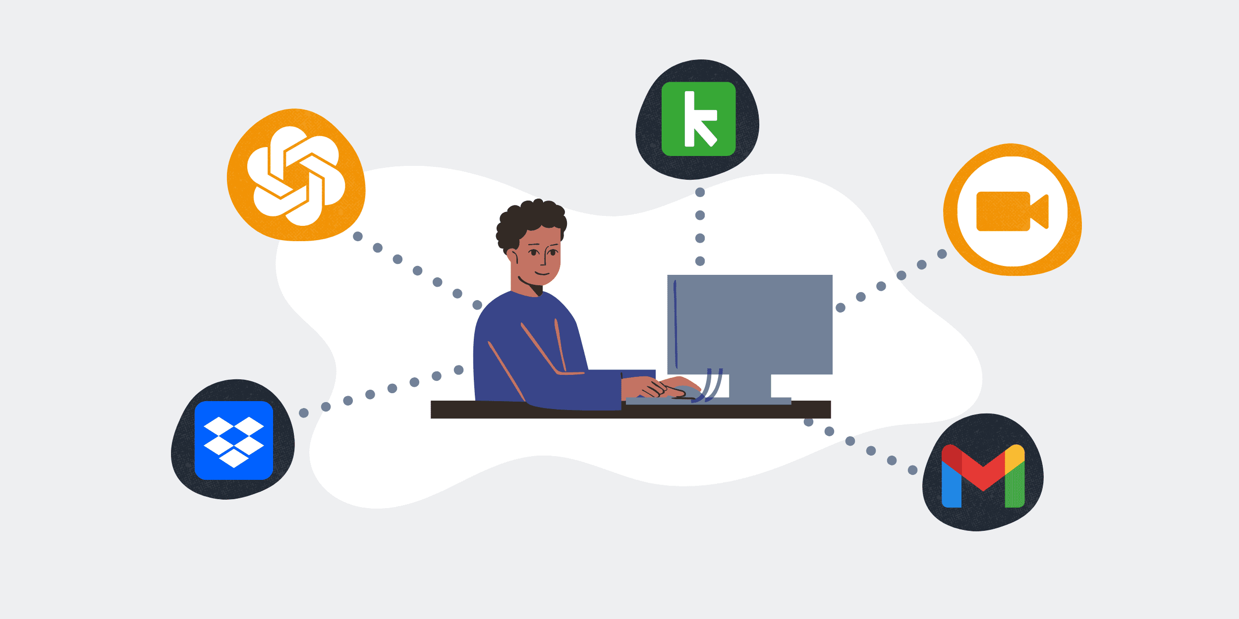
In today’s fast-paced world, staying connected with your team while working in the field is crucial. This is where the integration of ArcGIS Field Maps with Slack proves invaluable. Imagine this: you’re out collecting data and need to share updates with your team instantly. Rather than juggling between different apps, you can now send messages on Slack directly from ArcGIS Field Maps. This seamless integration not only saves time but also boosts productivity by keeping your communication in sync with your field activities.
ArcGIS Field Maps allows you to collect and edit data anywhere, be it urban landscapes or remote areas. Meanwhile, Slack remains a top choice for team collaboration, offering real-time messaging and file sharing. Combining these two platforms creates a powerful tool that enhances both field data collection and team communication. Let’s dive into the specifics of how this integration works and why it should matter to you.
Setting Up Your Environment
Getting Started with ArcGIS Field Maps
Before you can start sending messages to Slack, ensure you have ArcGIS Field Maps set up. It’s important that your field maps are configured correctly and are accessible both online and offline. You can start by downloading the ArcGIS Field Maps app from your preferred app store, then login using your ArcGIS credentials. Make sure you have the necessary permissions to view and edit spatial data within your organization.
Once your maps are ready, you’re all set to explore their features. The user-friendly interface is designed to help you navigate your maps effortlessly. By learning some basic functions, like map navigation, feature editing, and data collection, you’ll be well-prepared to take full advantage of ArcGIS Field Maps in your daily tasks.
Integrating Slack with ArcGIS Field Maps
Next, let’s focus on Slack. As a versatile communication platform, Slack provides APIs that enable seamless integration with other applications. To link Slack with ArcGIS Field Maps, you’ll need to create a connection using an automation tool like Make. This involves setting up a workflow that triggers a Slack message whenever there’s a new feature in ArcGIS Field Maps.
This process might sound complex, but tools like Make simplify it significantly. You’ll just need to authenticate your Slack and ArcGIS accounts, define the triggers and actions, and voilà — your integration is ready to go! This way, updates from the field reach your team members in real-time, enhancing communication and response times.
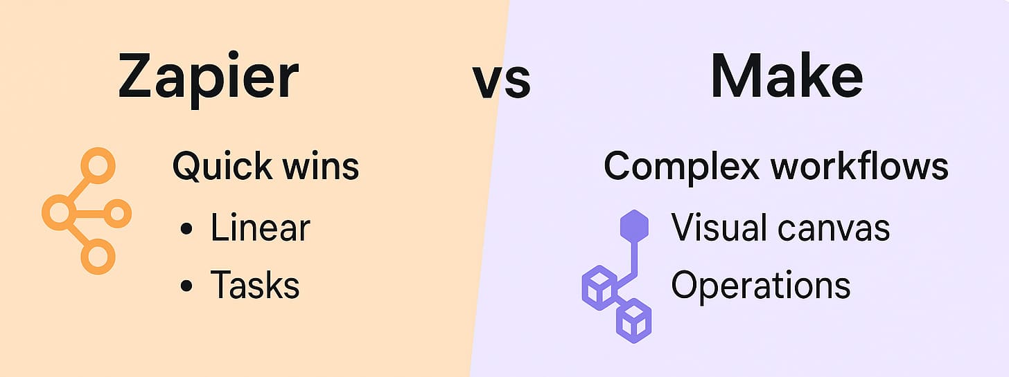
Creating a Workflow in Make
Understanding the Basics of Make
If you’re unfamiliar with Make, think of it as a digital glue that connects various web services. It automates workflows by linking two or more apps to perform specific tasks. Picture yourself running a relay race; Make acts as the baton, ensuring smooth hand-offs between your apps. Start by signing up for an account on Make’s website, then create a new scenario for your workflow.
Once you’re inside the Make platform, you’ll find it user-friendly. It visualizes workflows with intuitive diagrams, helping you design processes effortlessly. You can pick from numerous templates or start from scratch to tailor a solution that fits your precise needs.
Building Your Scenario for Slack Notifications
Building your scenario involves a few key steps. First, select ArcGIS Field Maps as the trigger app. Set it to activate whenever there’s new data collected in the field. Next, choose Slack as the action app. Define the parameters of your message — include data specifics like location, updates, or alerts relevant to your team.
Make sure to test your scenario before going live. It’s always a smart move to run a simulation, ensuring everything works as expected. This step helps catch any potential hitches before they affect real-world operations. Once confirmed, activate the scenario to allow real-time notifications, empowering your team to act swiftly based on field updates.
Maximizing Efficiency with Real-time Updates
The Benefits of Timely Communication
Time is money, especially when it comes to fieldwork. By integrating Slack with ArcGIS Field Maps, you ensure timely communication with your team. Real-time updates mean faster decisions, less downtime, and increased productivity. Consider this: each moment you save updating your team allows them to address issues proactively, rather than reactively.
Reflect on the last time you needed immediate feedback during a project. With this integration, you won’t need to wait for end-of-day reports or sift through long email chains. Instead, everything happens instantaneously, fostering a dynamic work environment where everyone stays on the same page.
Improving Team Collaboration
Communication is at the heart of successful teamwork. When team members are always informed, it fosters a collaborative atmosphere. This integration makes it easier for field teams to keep office-based colleagues updated, paving the way for unified efforts towards common goals.
Think of it like a sports team, where constant communication leads to synchronized moves and strategies. Your team becomes a well-oiled machine, capable of executing complex operations with precision. This not only improves team morale but also builds trust, knowing that everyone has access to the latest field data.
Challenges and Solutions
Common Pitfalls in Integration
As with any technology, integrating Slack with ArcGIS Field Maps has its challenges. You might face issues such as connectivity problems, incorrect data linkage, or even authentication errors. But don’t worry, these are merely speed bumps on the road to efficient communication!
Addressing these challenges begins with understanding the root cause. Often, it involves minor tweaks in your setup or permissions. Regularly reviewing logs and error reports can also offer valuable insights. Remember, overcoming these obstacles is part of the journey towards seamless integration.
Strategies for Overcoming Technical Hurdles
Technical hurdles can be daunting, but they’re not insurmountable. One effective strategy is to create a step-by-step checklist for setup and troubleshooting. This keeps your process organized and reduces the chances of missing critical details.
Additionally, lean on community forums and support channels for guidance. They can provide fresh perspectives and solutions you might not have considered. This network of users often shares experiences that mirror yours, offering tried and tested advice for overcoming common technical snags.
Conclusion
Integrating Slack with ArcGIS Field Maps opens up a world of possibilities by bridging the gap between fieldwork and communication. With real-time updates, teams become more agile, and decision-makers are better equipped to respond promptly. This synergy not only enhances operational efficiency but also makes everyday work much more enjoyable.
By embracing this integration, you’re not just adopting a new tool—you’re transforming the way your team collaborates. It’s about creating a smarter, more connected work environment where technology simplifies rather than complicates. So why wait? Dive in and let your team reap the benefits of seamless communication and collaboration.
Frequently Asked Questions
What is ArcGIS Field Maps?
ArcGIS Field Maps is a mobile app designed for data collection, editing, and viewing of geographic information system (GIS) data. It’s primarily used by field workers who require accurate and real-time data on location and spatial analysis.
How does Slack integration benefit fieldwork?
Slack integration allows field workers to communicate updates and alerts directly from the field, improving the speed and accuracy of information sharing. This leads to quicker decision-making and enhanced teamwork.
Is Make difficult to use for beginners?
Make is designed to be user-friendly with a drag-and-drop interface that simplifies the creation of automated workflows. While there may be a learning curve, beginners often find it intuitive after a few attempts.
What are the security considerations for this integration?
Security is paramount. Ensure that both Slack and ArcGIS accounts have strong authentication measures in place. Regularly update permissions and monitor activity logs to protect sensitive data during integration.
Can I customize notifications sent to Slack?
Yes, you can customize Slack notifications by defining specific triggers and choosing which data fields to include in the messages. This customization ensures that your team receives relevant and actionable information.


