Enhancing Team Communication: Integrating Slack with ArcGIS Field Maps
Introduction to ArcGIS Field Maps and Slack
In today’s fast-paced world, effective communication within a team is not just a luxury but a necessity. With the rise of remote work and digital communication tools, integrating systems that streamline communication can save time and reduce confusion. ArcGIS Field Maps is a robust tool for field data collection, mapping, and analysis which many teams in industries like agriculture, logistics, and field services rely on. On the other hand, Slack has become a household name when it comes to team collaboration, offering a platform for instant messaging, file sharing, and more.
By combining these powerful tools, teams can enhance their workflow. Imagine receiving immediate notifications on Slack whenever a specific feature is updated in ArcGIS Field Maps. It sounds like a dream come true for project managers and field teams who need real-time updates. Let’s delve into how this integration works and the benefits it brings to the table.
Why Integrate Slack with ArcGIS Field Maps?
The integration between Slack and ArcGIS Field Maps offers numerous advantages. Firstly, it bridges the communication gap between field workers and office staff. With automated notifications, everyone stays in the loop, ensuring that no crucial updates are missed. This is especially important in environments where quick decisions can make or break a project.
Furthermore, this integration allows teams to operate more efficiently by reducing the time spent relaying information back and forth. Field workers can focus on collecting and analyzing data, while the office team can quickly adapt strategies based on real-time updates. It’s like having a digital assistant that works tirelessly to keep everyone informed.
Getting Started: Setting Up the Integration
Setting up the integration between Slack and ArcGIS Field Maps is simpler than you might think. Begin by ensuring you have the necessary permissions in both applications. Typically, you’ll need administrative rights or access to integrations in your Slack workspace as well as your ArcGIS account. Once that’s sorted, you can proceed to the next steps.
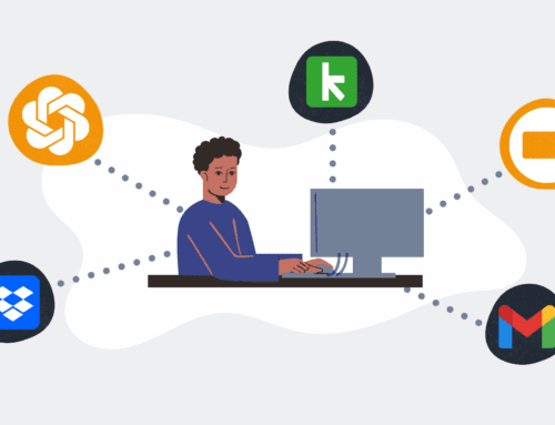
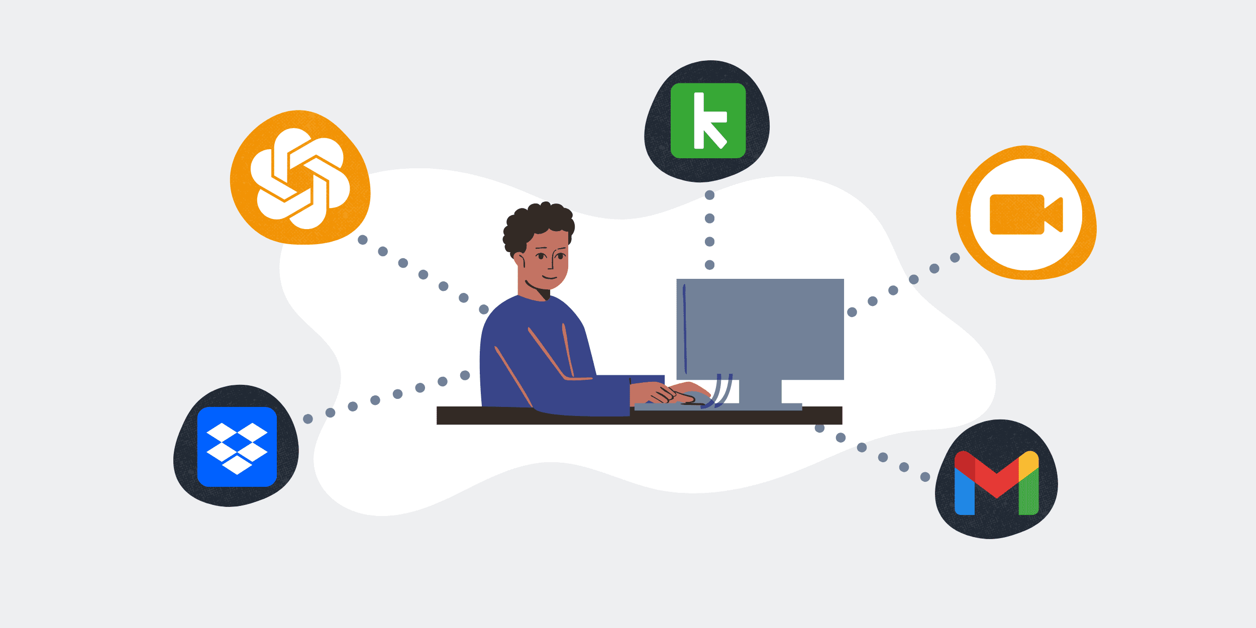
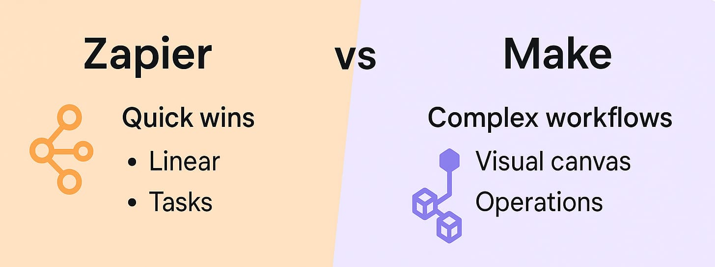
The process involves using a middleware service, such as Make (formerly Integromat), to bridge the two platforms. This intermediary helps translate actions in ArcGIS Field Maps into notifications or messages sent directly to your designated Slack channel. The setup might sound technical, but step-by-step guides are available to lead you through the process painlessly.
Configuring Your Notifications
Once the integration is in place, the next step is configuring your notifications. This is where you get to customize the types of alerts your team will receive on Slack. Maybe you want notifications for every map update, or perhaps just for specific data points. Tailoring the alerts ensures that your team isn’t overwhelmed with information, yet stays informed of critical changes.
Moreover, setting up specific triggers within ArcGIS Field Maps can help streamline what information gets pushed to Slack. Whether it’s a change in location coordinates or an update in project status, detailed configuration options mean you only get the alerts that matter. This level of personalization enhances the usability of the integration significantly.
Benefits of Real-Time Updates
The advantages of real-time updates cannot be overstated. In dynamic working environments, the ability to react instantly to new information is key. By integrating Slack updates with changes in ArcGIS Field Maps, teams can adjust plans, reallocate resources, or even pivot entire strategies without missing a beat. This adaptability is often what sets successful operations apart from the rest.
Beyond immediate reactions, real-time updates foster a culture of transparency and accountability within teams. Everyone knows what everyone else is doing, reducing the chances of duplication of efforts or miscommunication. It’s like having a GPS for your project’s progression – everyone knows the current location and destination.
Challenges You Might Face
No integration is without its hiccups, and connecting Slack with ArcGIS Field Maps is no exception. One common challenge is ensuring that notifications are sent only to relevant team members. Overloading all team members with every update can lead to notification fatigue. Therefore, it’s crucial to structure your alerts properly and possibly utilize direct messages for certain personnel.
Another potential hurdle is the learning curve associated with setting up the integration. While not overly complex, those unfamiliar with middleware tools might find the process daunting initially. However, with ample tutorials and customer support from both Slack and ArcGIS, overcoming these initial challenges is entirely achievable.
Best Practices for a Seamless Experience
To ensure that your integrated system functions optimally, there are several best practices teams can adopt. Regularly reviewing and adjusting notification settings ensures they remain relevant as projects evolve. It’s also advisable for teams to conduct training sessions so everyone understands how to use the integration effectively.
Furthermore, maintaining open lines of feedback can be beneficial. Encourage team members to share their experiences with the integration, both positive and negative. This collective insight can guide further adjustments, ensuring the system remains a valuable asset rather than a cumbersome tool.
Conclusion
Integrating Slack with ArcGIS Field Maps is more than just a technical exercise; it’s about transforming the way teams communicate and collaborate. The efficiency gained from real-time updates and seamless communication can lead to more successful project outcomes and a more cohesive team environment. By carefully setting up and managing this integration, teams can unlock a new level of productivity.
Frequently Asked Questions
Can this integration be customized for different teams?
Absolutely! The integration can be tailored to meet the specific needs of different teams, allowing for unique configuration of notifications and alerts based on project requirements.
What if I’m not tech-savvy? Can I still set this up?
Yes, even those who aren’t tech experts can set up the integration thanks to detailed guides and support offered by Make, Slack, and ArcGIS. You might find initial setup challenging, but assistance is available.
Is this integration secure?
Security is a priority for both Slack and ArcGIS. Using a reputable middleware like Make ensures that data is handled securely, following the latest security protocols and standards.
How often should notification settings be reviewed?
It’s a good practice to review notification settings periodically, especially as project goals change. This ensures that the information being shared remains relevant and useful to the team.
What are the costs involved in setting up this integration?
While both Slack and ArcGIS offer free versions, the integration may involve costs if you choose premium features or require advanced support from middleware services like Make.


